Audio Tour
Santa Monica to Carmel-by-the-Sea
323miles
28stops
5h8m
Preview — Stop 1
Santa Monica Pier and Route 66 Terminus
0:00
Download the app to hear all 28 stops as you drive.
Stops on this tour
1
Santa Monica Pier and Route 66 Terminus
Mile 0 — Santa Monica
2
Sawtelle and West LA's Japanese Heritage
Mile 3 — Los Angeles
3
The Getty Center Above the Freeway
Mile 8 — Los Angeles
4
The San Fernando Valley's Suburban Grid
Mile 14
5
Mission San Fernando and Its Giant Adobe
Mile 21 — Granada Hills
6
Where the 1971 Earthquake Changed Freeways
Mile 30 — Stevenson Ranch
7
California's First Gold Discovery Site
Mile 36 — Valencia
8
Tejon Pass and the Grapevine Grade
Mile 55
9
Fort Tejon Army Camels and Earthquakes
Mile 74 — Lebec
10
Kern County Oil Fields Along the Highway
Mile 94
11
San Joaquin Valley Floor Ahead
Mile 113 — Bakersfield
12
Buttonwillow and the Kern County Canal Network
Mile 127
13
Lost Hills and the Pistachio Empire
Mile 141 — Lost Hills
14
Blood Alley and the Coast Ranges Crossing
Mile 142 — Lost Hills
15
Oil Beneath the San Joaquin Floor
Mile 161
16
James Dean's Final Drive on Route 46
Mile 180 — Shandon
17
Shandon and the Cholame Valley Oaks
Mile 187 — Shandon
18
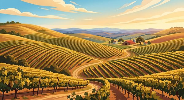
Paso Robles Wine Country Limestone Soils
Mile 195
19
Paso Robles and Its Hot Springs History
Mile 202 — Paso Robles
20
Sulphur Springs and Paso Robles Geothermal Heat
Mile 205 — Paso Robles
21
San Miguel's Irreplaceable Mission Murals
Mile 214 — San Miguel
22
Camp Roberts: WWII Infantry Training Giant
Mile 217 — San Miguel
23
San Ardo Oil Field Beneath the Hills
Mile 236
24
King City and the Salinas Valley Floor
Mile 255 — King City
25
The Arroyo Seco and Salinas River Aquifer
Mile 265
26
Soledad: Mission, Literature, and Prison
Mile 276 — Soledad
27
Salinas Valley Lettuce Bowl of the World
Mile 296
28
Monterey: California's First Capital City
Mile 317 — Monterey
iOS · GPS-triggered narration
Stops on this tour
1
Santa Monica Pier and Route 66 Terminus
Mile 0 — Santa Monica
2
Sawtelle and West LA's Japanese Heritage
Mile 3 — Los Angeles
3
The Getty Center Above the Freeway
Mile 8 — Los Angeles
4
The San Fernando Valley's Suburban Grid
Mile 14
5
Mission San Fernando and Its Giant Adobe
Mile 21 — Granada Hills
6
Where the 1971 Earthquake Changed Freeways
Mile 30 — Stevenson Ranch
7
California's First Gold Discovery Site
Mile 36 — Valencia
8
Tejon Pass and the Grapevine Grade
Mile 55
9
Fort Tejon Army Camels and Earthquakes
Mile 74 — Lebec
10
Kern County Oil Fields Along the Highway
Mile 94
11
San Joaquin Valley Floor Ahead
Mile 113 — Bakersfield
12
Buttonwillow and the Kern County Canal Network
Mile 127
13
Lost Hills and the Pistachio Empire
Mile 141 — Lost Hills
14
Blood Alley and the Coast Ranges Crossing
Mile 142 — Lost Hills
15
Oil Beneath the San Joaquin Floor
Mile 161
16
James Dean's Final Drive on Route 46
Mile 180 — Shandon
17
Shandon and the Cholame Valley Oaks
Mile 187 — Shandon
18
Paso Robles Wine Country Limestone Soils
Mile 195
19
Paso Robles and Its Hot Springs History
Mile 202 — Paso Robles
20
Sulphur Springs and Paso Robles Geothermal Heat
Mile 205 — Paso Robles
21
San Miguel's Irreplaceable Mission Murals
Mile 214 — San Miguel
22
Camp Roberts: WWII Infantry Training Giant
Mile 217 — San Miguel
23
San Ardo Oil Field Beneath the Hills
Mile 236
24
King City and the Salinas Valley Floor
Mile 255 — King City
25
The Arroyo Seco and Salinas River Aquifer
Mile 265
26
Soledad: Mission, Literature, and Prison
Mile 276 — Soledad
27
Salinas Valley Lettuce Bowl of the World
Mile 296
28
Monterey: California's First Capital City
Mile 317 — Monterey